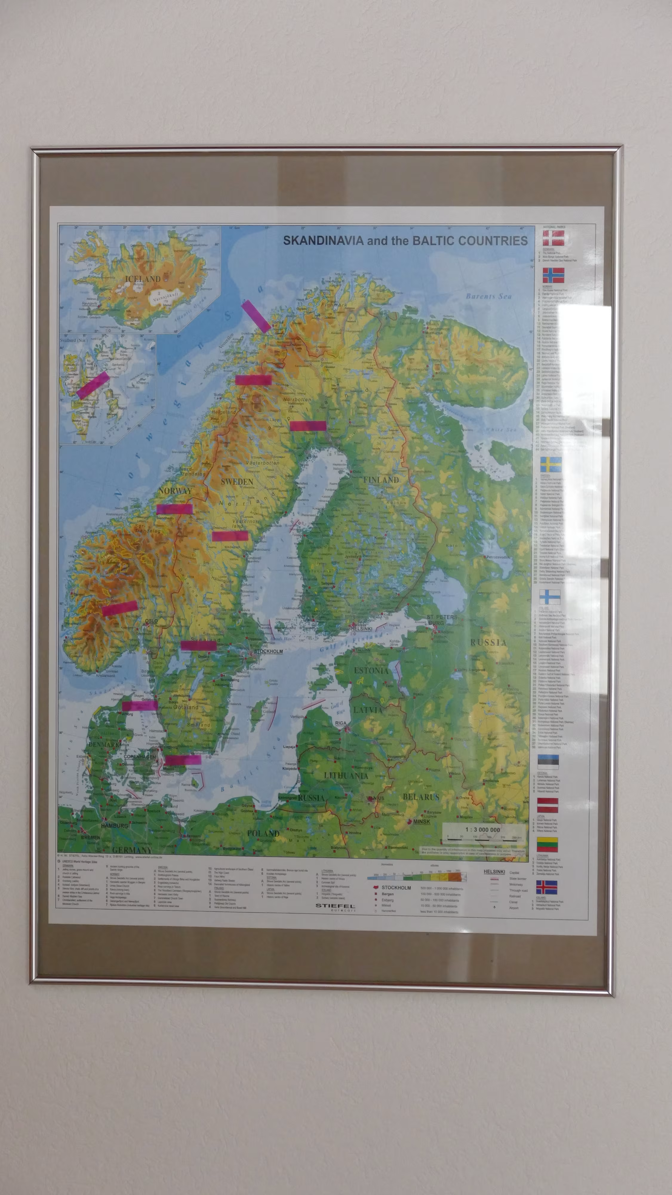
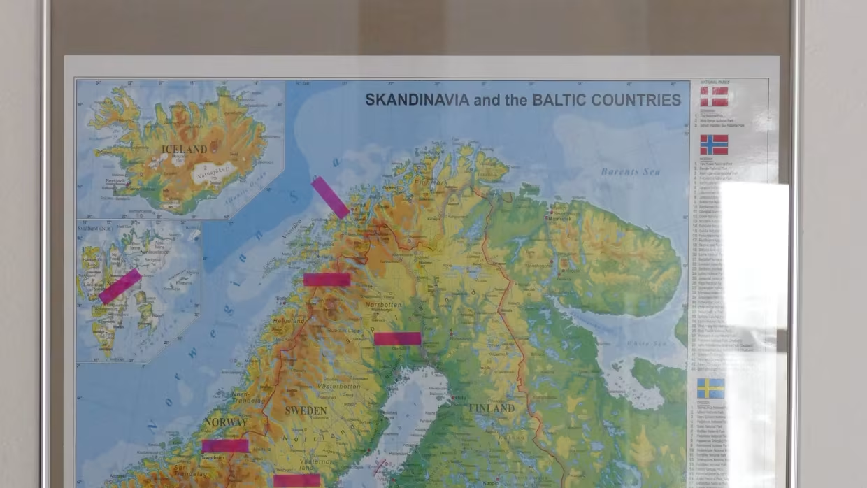
Scandinavia and Baltics Map physically
On this new physical map you will find all the countries of Scandinavia and the Baltic countries. These are Denmark, Sweden, Norway, Finland, Estonia, Latvia and Lithuania. Also Iceland is marked on the map.
You will find on this map all the important details such as cities and capitals, the neighboring countries with their respective national borders, the motorway and trunk road network, the rail network and international airports.
A physical map is very well represent the high and low layers. So landscapes, mountains, rivers and lakes are particularly clearly.
A special highlight are the UNESCO World Heritage sites in Norway, Sweden, Finland and Denmark. You see a legend at the bottom of the map. In addition, in a legend, the National Parks of the countries are shown under the respective national flags.
The map is one sided laminated and labeled in English.